
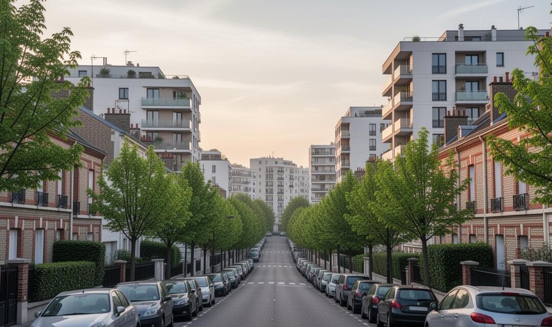
Few places on the eastern fringe of Paris carry as layered a history as Montreuil, a commune whose identity is inseparable from its position within the broader Parisian region. Understanding what shapes this town — from its administrative boundaries to its evolving population — requires looking closely at the geographic and civic frameworks that define it, including the postal code that anchors it within the French territorial system.
At a glance
- Montreuil is a key commune in the Seine-Saint-Denis department, situated on the eastern edge of Paris and acting as a bridge between the capital and the suburban landscape.
- The town’s postal and INSEE codes are essential administrative markers that define its spatial identity and facilitate official demographic and urban research.
- Governance in Montreuil relies on intercommunal cooperation, allowing the municipality to collaborate with neighboring towns on urban planning, transport, and economic development.
- The commune’s demographic evolution reflects broader socio-economic trends in the Parisian metropolitan area, characterized by waves of migration and significant residential turnover.
- Housing statistics, including the balance between main residences and vacant properties, remain central to municipal policy debates regarding densification and local development.
- Archives held at the town hall serve as a vital resource for understanding the commune’s transformation from its early history to its current role as a modern urban center.
Understanding the Geographic Identity of Postcode Montreuil
Situated in the department of Seine-Saint-Denis, Montreuil occupies a distinctive position as one of the inner suburbs of Paris, pressed against the eastern edge of the capital and bordered by the Val-de-Marne department to the south. The postcode Montreuil carries more than a simple routing function: it signals membership of a specific administrative zone within the Île-de-France region, one of the most densely organised territorial frameworks in all of France. For residents, researchers, and urban planners alike, this code serves as a gateway into understanding the commune’s spatial logic.
The Administrative Evolution of the Seine-Saint-Denis Commune
Montreuil’s administrative story is one of gradual consolidation and reform. As a commune registered under the Institut national de la statistique et des études économiques, its INSEE code provides an essential reference for all official records, from population censuses to municipal elections. The commune has long been part of intercommunal cooperation structures, linking it to neighbouring towns in public policy and territorial development. This form of public intercommunal establishment enables shared governance across functions such as urban planning, transport, and economic development, reflecting broader trends of metropolisation that have reshaped the Parisian suburbs over recent decades.
The history of the town hall — the mairie — is itself a record of civic ambition. Successive municipal councils have shaped Montreuil’s urban fabric, with figures associated with the council playing a role in steering the commune through periods of significant demographic and social change. Among the names linked to the town’s political history, Jean-Pierre Brard stands out as a long-serving figure associated with its municipal governance, reflecting the depth of local political engagement that has characterised this commune.
Mapping the Boundaries Near Paris and Val-de-Marne
A geographic study of Montreuil reveals a commune that acts almost as a hinge between the dense urban core of Paris and the more varied suburban landscape stretching eastward. The map of the commune shows its boundaries touching the arrondissements of eastern Paris to the west, while to the south, the Val-de-Marne department begins. This spatial position has made Montreuil a subject of sustained interest in urban sociology and territorial development research. Studies examining the eastern Paris region have highlighted the continuity and discontinuity observable as one moves from the inner suburbs outward — a social mosaic of increasingly differentiated neighbourhoods, shaped by decades of urban expansion and demographic change.
Demographics and Housing Dynamics Across the Town
The population of Montreuil places it among the larger communes in Seine-Saint-Denis, making its demographic trends particularly significant for any analysis of the Parisian metropolitan area. Population census data drawn from INSEE sources have tracked the evolution of inhabitants across successive years, revealing patterns of urban growth that mirror wider socio-economic trends across the inner suburbs of France’s capital.
Analysing inhabitants and population growth trends
Demographic change in Montreuil reflects the broader dynamics of suburban development in the Parisian region. The commune has experienced waves of migration, generational turnover, and spatial transformation that have left their mark on its social composition. Research into the eastern Paris region has explored how areas such as Montreuil sit at the intersection of different socio-economic trajectories, with some neighbourhoods undergoing rapid change while others retain long-established communities. The population census remains the primary source for tracking these shifts, offering a table of results that spans multiple decades of recorded history.
Such data is invaluable for understanding urban sociology at a local level. The evolution of inhabitant numbers, combined with analysis of household composition and residential mobility, paints a nuanced picture of a commune that continues to attract new residents while managing the pressures of densification and housing demand.

Main residences, secondary accommodation, and vacant housing
Housing in Montreuil is categorised across several types in official French statistics: main residences form the backbone of the commune’s residential stock, while secondary and occasional housing account for a smaller but notable proportion. Vacant housing, meanwhile, represents both a challenge and an opportunity for local urban planning efforts. The balance between these categories shifts over time, influenced by factors ranging from property market pressures to municipal policy decisions.
The proportion of main residences relative to vacant and secondary accommodation is a key indicator of a commune’s housing health. In Montreuil, as in much of the inner suburbs, the pressure on residential space has intensified alongside population growth, prompting ongoing debate within the municipal council about how best to manage the commune’s built environment.
Local Governance and Urban Heritage in the Region
Montreuil’s civic institutions reflect a long tradition of engaged local governance. The town hall has historically served not only as an administrative centre but as a symbol of the commune’s identity within the larger Seine-Saint-Denis department. Its records, stretching back through the administrative history of the region, offer a rich source for historians and geographers interested in how this part of the Parisian suburbs has evolved.
The Role of the Municipal Council and Public Intercommunal Cooperation
The municipal council of Montreuil operates within a framework of intercommunal cooperation that links it to surrounding communes in shared projects and public services. This form of territorial governance has become increasingly important as the Parisian metropolitan area seeks to coordinate development across its many constituent towns and departments. For Montreuil, participation in these structures has shaped decisions on everything from local transport links to social housing policy, embedding the commune within a wider network of urban planning and spatial analysis.
Preserving civic identity through historic town hall records
The archives held within Montreuil’s town hall constitute a remarkable resource for tracing the commune’s past. From early records of the commune’s establishment within the Seine department — before the territorial reorganisation that created Seine-Saint-Denis — to more recent documentation of demographic results and housing surveys, these materials tell the story of a place that has continuously reinvented itself while maintaining a strong sense of local identity. The postal code, the INSEE code, and the town hall together form the administrative trinity through which Montreuil’s history is both recorded and understood, anchoring this vibrant commune firmly within the geography of modern France.